History
The castle near Barrigone, between Askeaton and Robertstown, on the road connecting Limerick to Foynes, is referred to in Irish as Díseart Muirdeabhair (also seen in older forms as Diseart Murdebrair, Disuirt Murdewar, and Dissert Marrgeoin) [1].
Probably built by the O’Briens in the 15th century, it was later associated with the Gould, Wakeman and Wingfield families [1]. The information we dispose about the owners of Dysert Castle seem not fully certain, more based on local historical records than on academic sources. It could have belonged to Morris mac Tirrelagh Mac Moryertagh O’Brien, who held nearby lands in 1584, and then to Sir Edward Wingfield, who owned ‘Craige and Dissarte’, as reported in the Civil Survey of Limerick dating 1654-56 [1, 2].
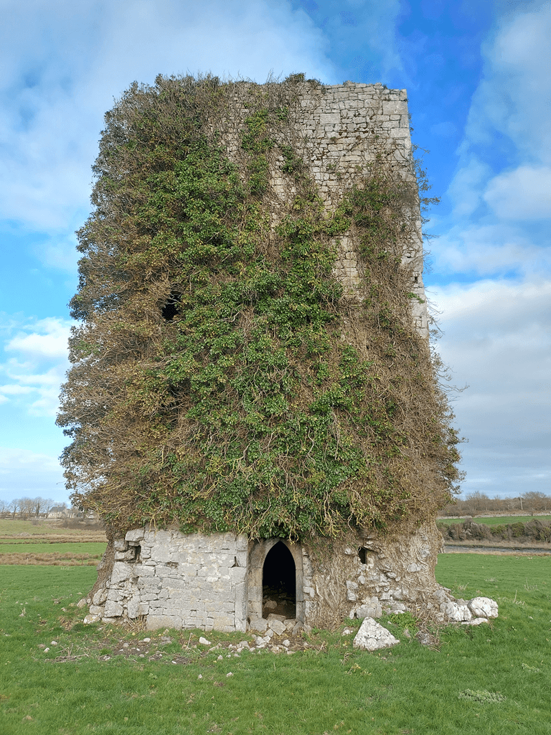
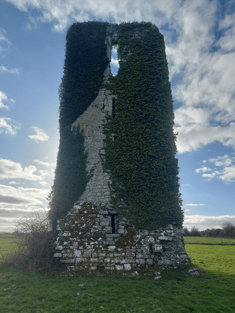
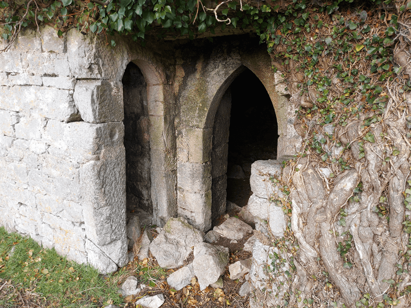
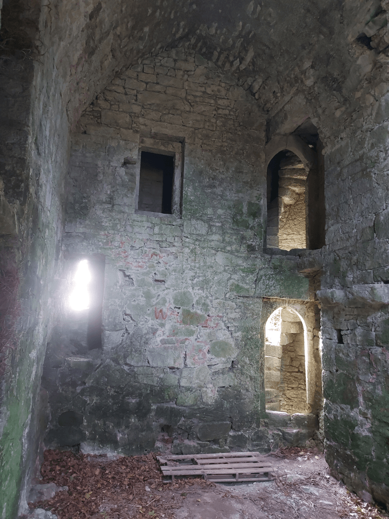
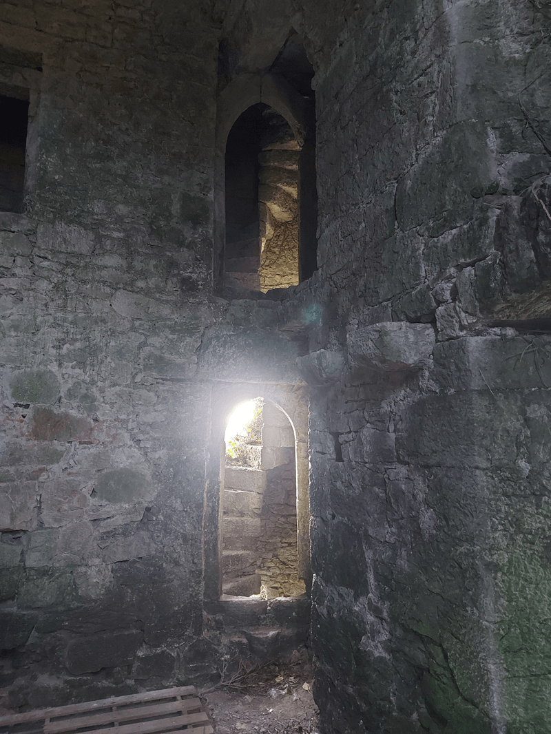
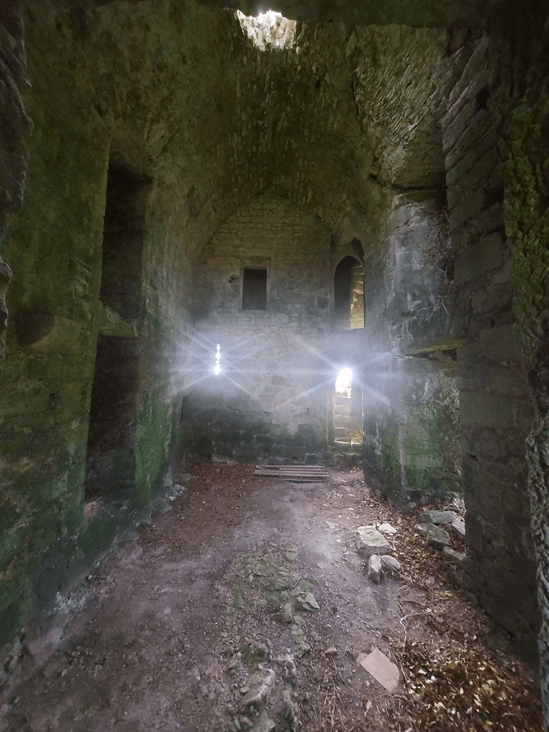
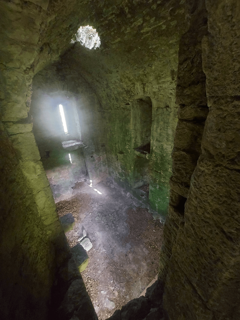
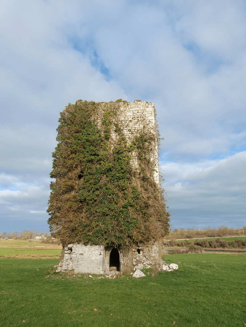
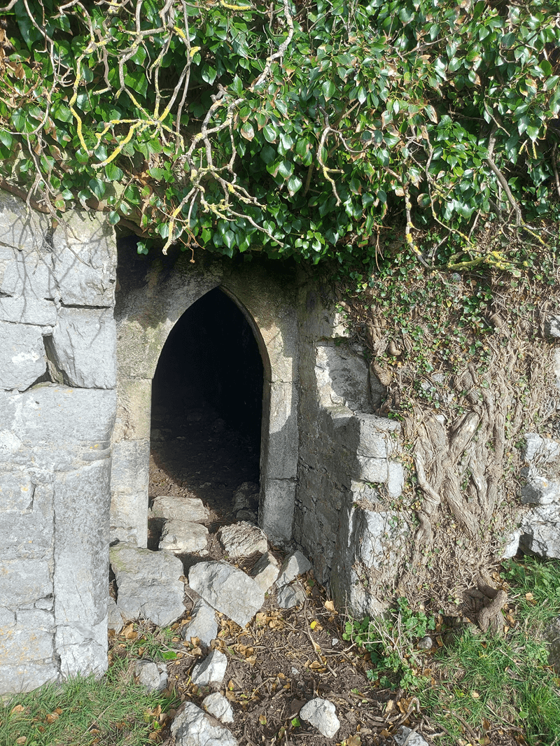 It consists of a four storey tower house with internal dimensions of about 5.8m by 4m, with 1.4 m thick walls, rising approximately 15m [2]. Two barrel-vaulted floors and a spiral staircase of 68 steps in the north-west corner beside the entrance can be observed inside the castle [2]. The heavy walls were intended to resist both siege and weather and to support barrel-vaulted stone ceilings on two levels. Other typical defensive features can be observed, such as the stair winding clockwise upward, the presence of narrow loops (arrow slits) opening off the stair, the murder hole just inside the main door, strong entrance door and draw-bar socket, narrow windows and arrow loops in the lower levels.
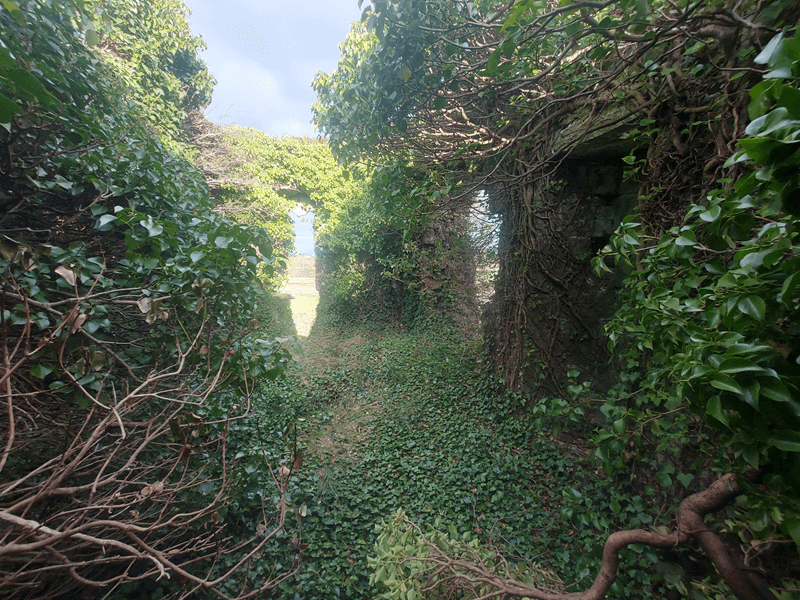
On the 1840 Ordnance Survey map, the castle is shown centrally within a roughly 80m by 60m rectangular field, likely the original bawn footprint [2].
More details on its architecture, including both defensive and domestic features, can be found in [2].